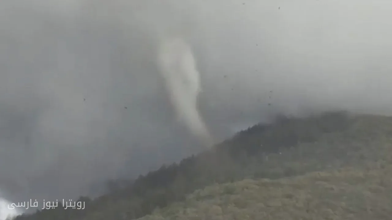
A rare and powerful tornado occurred on Friday near the city of Fruit Heights in the state of Utah. This weather phenomenon began at an altitude of about 7,500 feet (approximately 2,300 meters) above sea level near a peak along the western ridge of Francis Peak.
Weather Conditions and Tornado Occurrence
Tornadoes at very high elevations are less common due to dry air and storm dynamics. However, a report from the National Weather Service (NWS) in the Salt Lake City office indicates that this tornado was able to throw debris up to 4,000 feet into the air.
Brittany Whitlam, a meteorologist with the NWS in the Salt Lake City office, stated that based on radar signatures and videos submitted by local residents, this tornado has been confirmed as "strong." However, official rating will be delayed until a damage assessment is conducted by the survey team.
Second Tornado in Vernal
In addition to this tornado, a second tornado has also occurred south of the city of Vernal, Utah. These events have drawn media and meteorological attention, raising questions about weather conditions and climate change.
High-altitude tornadoes are always recognized as a rare phenomenon, and the occurrence of such storms in Utah, especially at high elevations, typically creates specific fluctuations in weather activities. Now, with the information released, further investigations are underway to accurately assess the impacts and dimensions of this weather phenomenon.